
Some of these cookies are necessary to make the site work. We’d also like to use optional cookies to help improve your experience on the site. You can manage your optional cookie preferences below. Using this tool will set a cookie on your device to remember your preferences. Your preferences can be changed at any time.
For further details, see our Cookie Policy and our Privacy Policy
Essential cookies enable core functionality such as page navigation and access to secure areas. The website cannot function properly without these cookies; they can only be disabled by changing your browser preferences. Third party functions such as Google Search and Analytics will not be enabled.
Performance settings enable you to use the Google Search engine on our website and help us to improve our website by collecting and reporting information on its usage (for example, which of our pages are most frequently visited).
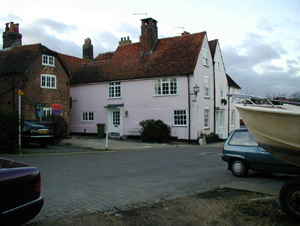
The Town Quay conservation area was designated in 1975 to preserve and enhance the historic character of the older waterside settlement and the quaysides. These are a vital part of the history and character of the town, and an important reminder of the role that seaborne trade played in the growth and prosperity of Fareham. It was extended in 2005 to include a further area of open space at Western Parade and Bath Lane recreation ground. Upper Quay is situated at the northern end of the conservation area, beside the railway viaduct; it is a southward extension of the town on the line of Quay Street. Lower Quay, with its compact core of older buildings, lies to the south and was formerly a separate settlement. The two quays are now linked by a promenade, constructed when the Gosport Road was widened in 1982. The open space at Eastern Parade, to the south of Lower Quay, is also within the conservation area boundary, as is Bath Lane recreation ground to the north.
The 'phase one' improvement scheme covers a small area of Town Quay which was formerly part of Gosport Road.As part of the scheme worn out paving was removed and access to the waterfront was improved. The area of grass and trees was extended and the waterfront promenade was improved with new surfacing, guardrails and seats.
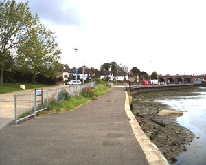
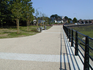
This is an area of private land crossed by a public right of way to the entrance to Bath Lane Recreation Ground. The area had become neglected. The scheme's objectives were to make the public right of way more legible, whilst retaining areas for private parking on each side, and to create an attractive entrance to the recreation ground.
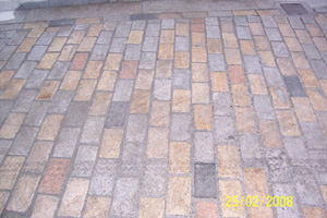
An opportunity to improve the area arose when part of the area was being re-developed and, with a contribution from the developer, granite setts were used to create a high quality and clearly legible public right of way, with bitmac for the private parking areas on each side. Street lighting was also improved and traditional style lanterns were introduced.
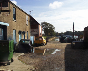
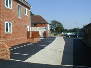
This scheme was undertaken in partnership with the Hampshire County Council's regeneration of older urban areas initiative. The improvement works included the replacement of concrete blocks with granite setts and the replacement of concrete kerbs with granite kerbs. The surfacing of footpaths and roads was also improved with the use of resin bonded gravel, small areas of natural sandstone and panels of granite setts.
 Back to Top
How to get here
